KinSource
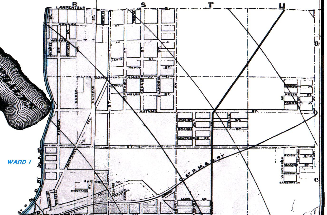
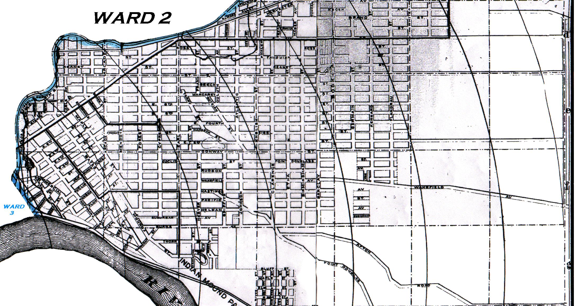
1909 Map of St. Paul - Ward 2
R. L. Polk & Co 1909 St. Paul City Directory
Ward 2 comprises all of the portion of the city lying to the eastward of the Northern
Pacific Railway tracks, from the northern boundary of the city to the intersection of said
tracks with Brook and east of the center line of Brook, and Brook extended from such point
of intersection to the Mississippi River.
R. L. Polk & Co 1910 St. Paul City Directory
Referencing the St. Paul City map in Polk's 1909 St. Paul City Directory, the Northern Pacific Ry tracks ran as follows: Starting from Brook street, running northbound just east of Bradley Street and Bradford Street, then running eastbound just south of Decatur Street and Beaumont Street, then running northbound just east of Payne Avenue to Arlington, then running eastbound just south of Wells Street to the junction of East 7th Street and Earl Street, then running eastbound on the north side of East 7th Street for two blocks, then running northbound to the city limits about one block west of Fisher Street and rounding the southeast corner of Lake Phalen.
Note: The map below is divided into three images due to size.
The western border of Ward 2 is indicated by the blue line.
Click on a map to enlarge it and launch it into a separate window.
|
|
|
|
|
|
Copyright 2002 KinSource All Rights Reserved